Airplane navigation training
A trainee who obtained a private pilot’s license at Alpha Aviation conducted navigation training to Yamagata Airport as a captain.
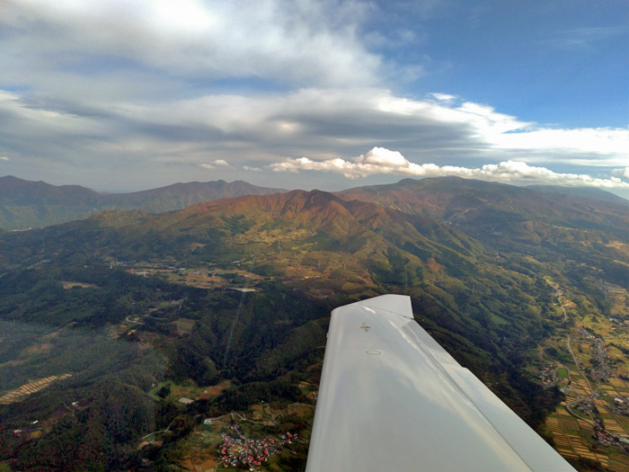
It’s the season of autumn leaves. After took off from Fukushima Airport and heading north, we saw Mt. Adatara on our left. In winter, there are times when mountain waves form turbulence, but this time of year is relatively calm.
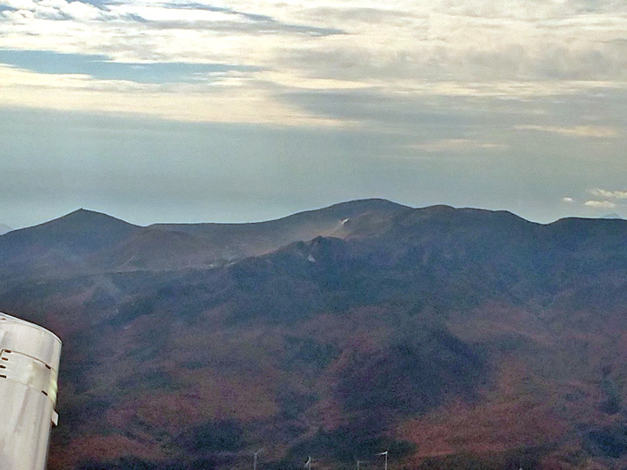
Fly further north, passed Fukushima Station, and took a course in the direction of Yonezawa. Mt Azuma can be seen on the left side of the direction of travel. Some volcanic smoke can be confirmed, but it seems to be near the Jododaira parking lot of the Bandai Azuma Skyline. We couldn’t see it from the sky, but we are sure it will be crowded with many cars and people.
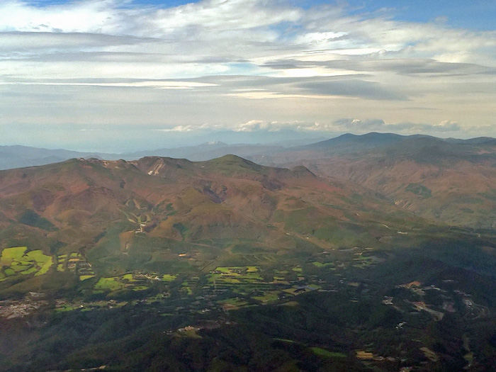
On the right side of the direction of travel is Kurikoyama, which is located on the border between Fukushima City and Yonezawa City. We couldn’t see the road at all, but the coloring was more beautiful here.
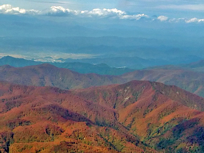

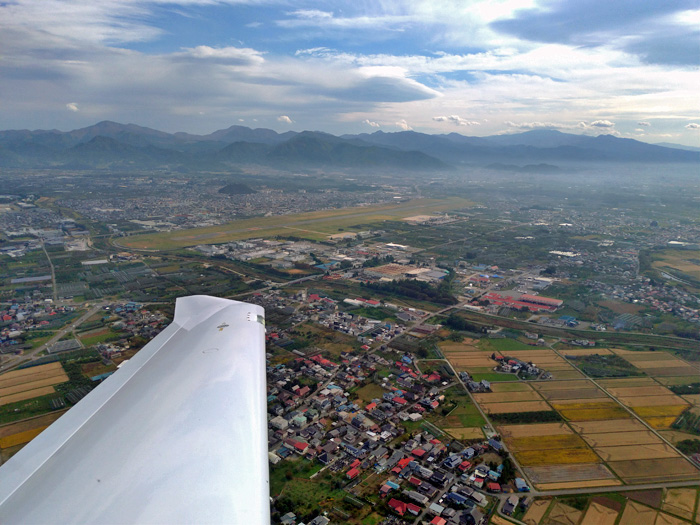
Mt. Zao is on the right after passing Mt. Ueyama, the visual reporting point for Yamagata Airport.
After a touch-and-go at Yamagata Airport, we headed home.
Before obtain license, he didn’t have time to maneuver and didn’t even think about looking at the scenery, but after obtained his license, he seems to have been able to enjoy not only the lookout but also the autumn leaves viewing from the sky.

